
Burlington Township Neighbors by Parcel
For a Burlington Township block, the public starting point is parcel context. County geometry, township tax maps, annual assessment fields, recorded instruments, public notices, and historical sources answer different questions. They can identify a lot, a boundary, land use, or a dated record lead. They do not create a reliable roster of people living nearby.
Call a parcel adjacent only after checking the map sheet. A road, a paper street, the Delaware River, a city boundary, or a narrow access strip can sit between two shapes. The Township’s relationship around Burlington City makes the legal municipality especially important before a clerk, zoning, or tax record is attributed to a block.
| Block source | What it can establish | Access route |
|---|---|---|
| County parcel boundary layer | Geometry, block, lot, municipality, PIN, qualifier, tax sheet, and update fields | REST metadata and layer access |
| Township tax maps | Map sheets, block-and-lot context, and revisions | Municipal map index and PDFs |
| NJ MOD-IV layer | Annual assessment address, value, description, use, and available owner fields | State layer, with Daniel’s Law redactions |
| Planning, zoning, and public notices | Project, land-use, hearing, or infrastructure context | Township legal-notice collection and custodian requests |
| Historic maps and directories | Dated landowner or address association | Library, archive, and in-person collection routes |
Ownership, occupancy, and proximity are separate facts. A MOD-IV record is an annual assessment record, not a real-time title or residence statement. An owner field can be missing because of a privacy protection. A directory entry is historical association. Keep the source date with every Burlington Township neighbors note.
Read Burlington Township Neighbor Parcel Fields
The advertised county Property Viewer was reported offline during research, but the county’s REST boundary layer remains a documented fallback. It exposes OBJECTID and SHAPE geometry along with NEWGISID, BLOCK, LOT, PARCELTYPE, ALT_ID, MUNITAXDISTRICT, MUN, PAMS_PIN, QCODE, LastUpdate, TaxSheet, and Xcoord. Those fields connect the map shape to tax research without claiming that a parcel reveals a household.
A PAMS_PIN is a tax-assessment identifier. The county’s parcel-locator materials describe a county, municipality, block, lot, and qualifier pattern, with a qualifier needed for some condominium units. Preserve any qualifier, because dropping it can point a block search at the wrong unit. The geometry is not a boundary survey, title opinion, or occupancy record.
The county’s interactive-maps page records the current Property Viewer status and GIS contact path.
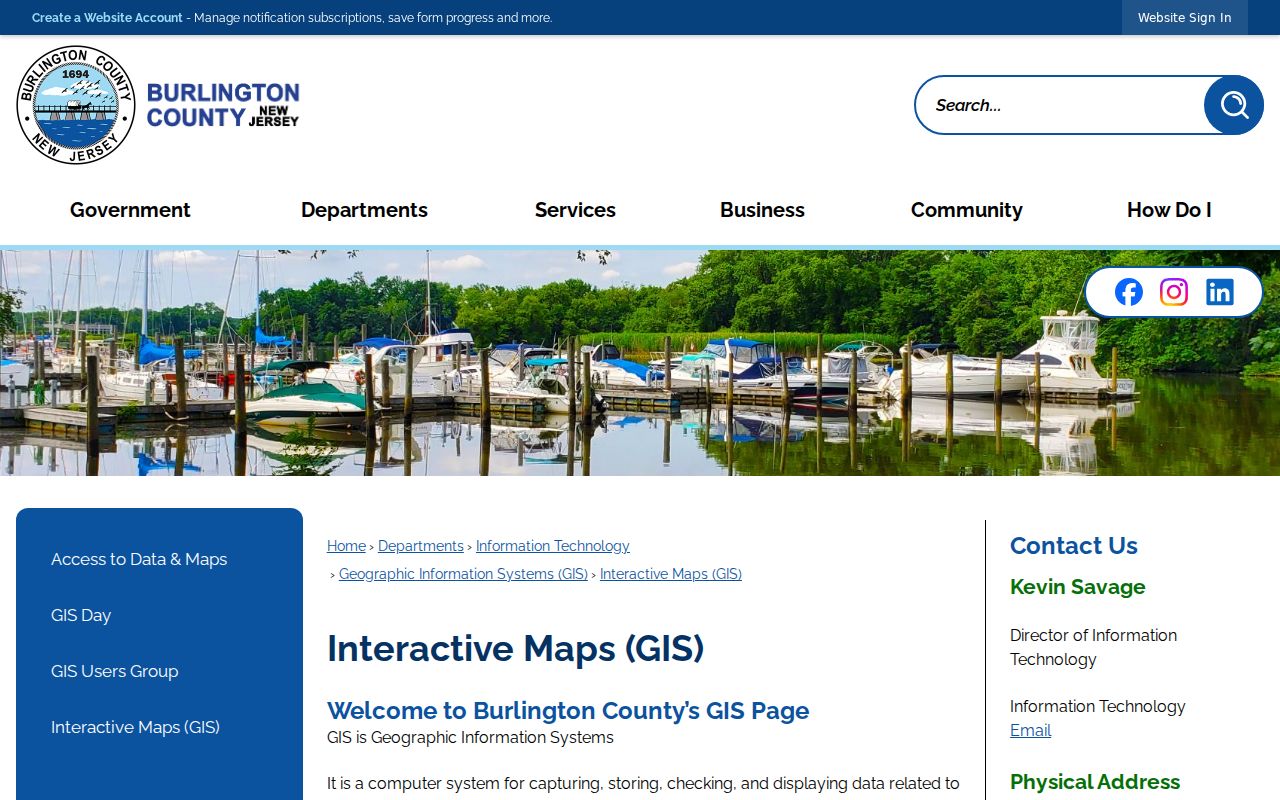
When a viewer is unavailable, use the documented layer and tax-map route, record the access date, and avoid substituting an unverified result.
Map a Burlington Township Neighbor Block
Use an address-to-parcel flow for Burlington Township neighbors. First preserve the address exactly as known, including a unit or lot. Next, verify the legal municipality and find the tax-map block, lot, qualifier, tax sheet, or PAMS_PIN. Use the county layer to inspect surrounding polygons, then compare the tax-map sheet before calling them adjacent. A corner touch or a road separation is a map fact, not a social relationship.
- Search the target address or parcel identifier in the tax-map, NJGIN, or county-layer route and record its municipality, block, lot, and qualifier.
- Inspect the surrounding geometry and save each adjacent parcel identifier, tax sheet, source URL, and access date.
- Use MOD-IV only for its public annual field family, such as property use, land or building description, and values. Do not turn a mailing or owner field into an occupancy claim.
- Check a public notice, zoning item, or recorded instrument only when it answers a defined land-use or dated property question.
- For a full address-chain search rather than immediate block context, use the Burlington Township street directory method.
This process gives a repeatable record of the block even when an owner field is unavailable. It also leaves room for a custodian to explain a boundary discrepancy or redaction instead of guessing from a map image.
Check Burlington Township Neighbor Tax Maps
Tax maps are the second check before describing a Burlington Township neighbor as adjacent. The township publishes an index and PDF map sheets, including maps 7 through 16 and a 2024 update reference. A sheet can reveal a paper street, municipal edge, or access strip that is easy to miss in a general map view. It also gives the block-and-lot reference needed for a focused clerk or department request.
Use the municipal tax-map page as the map source, then retain the sheet name and revision when recording a result.
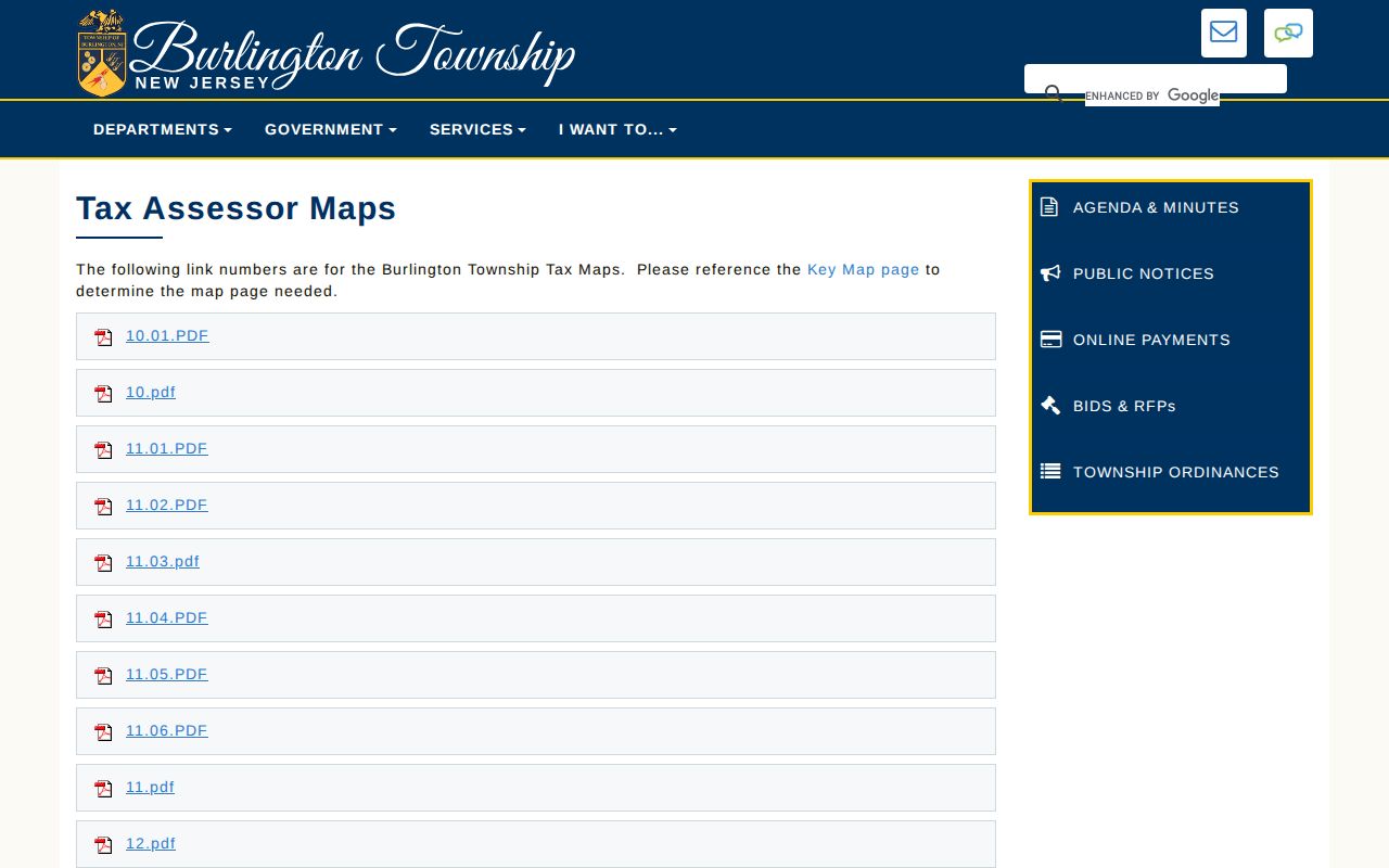
The tax-map index is a locator, not proof of title, a survey, or an account of who lives at a parcel.
Burlington Township Neighbors and Land Use
Public block context is often more useful than a name. The township zoning map was revised through 2022 and records zone categories, boundaries, roads, transit, police, fire, schools, and the Aqua Lane Redevelopment Area block-and-lot reference. Planning and zoning notices can connect a parcel to a hearing, application, or infrastructure issue. Those records describe public land-use activity, not the private people near it.
Beginning March 1, 2026, the township’s local legal-notice collection publishes complete notices under P.L. 2025, c.72, including council, planning, zoning, tax, finance, ordinance, contract, and public-works material. A notice is a lead to the underlying custodian record. Ask for a specific address, project, board, and date range through the appropriate department or OPRA channel.
The county parcel layer shows the field family used to connect geometry with the municipal map.
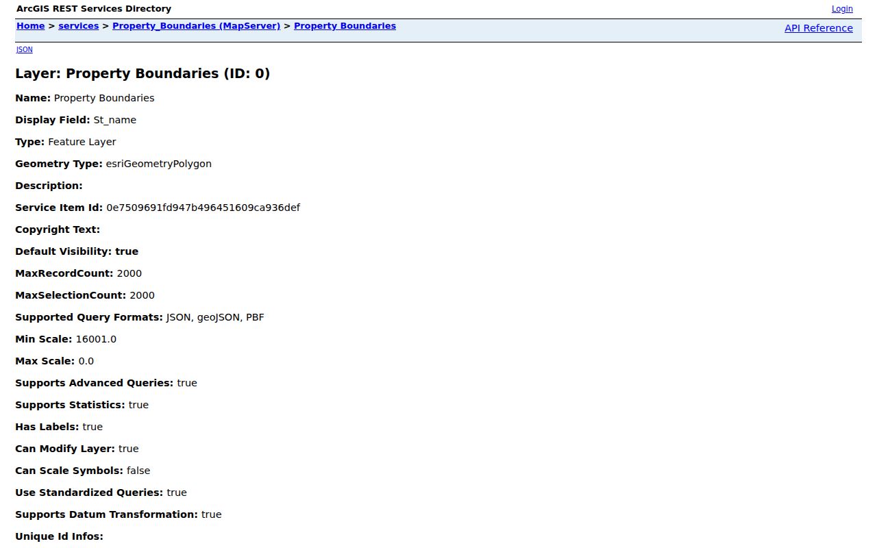
The visible parcel fields are useful for a reproducible block log, while a privacy-redacted name field should remain a redaction, not an invitation to search around it.
Burlington Township Neighbor Community Context
No official township-wide neighborhood-association directory was located. One council biography names the La Gorce Square Civic Association, but that reference is not a complete registry and does not establish membership, boundaries, or a household list. Treat a civic group as a specific public contact only after confirming its own current public page serves the address being researched.
For community questions, public facilities, fire districts, roads, planning notices, and polling-location material can offer neutral context. The reviewed voter sources do not establish a public tool for clicking a block and listing every voter. A polling place is also not evidence that a person nearby is registered or lives at a given address.
| Official block record | Useful purpose | Limit to keep visible |
|---|---|---|
| Parcel layer and tax map | Identify a parcel, map relationship, and tax reference | Not a person or household list |
| Zoning or planning notice | Find a public project, hearing, or land-use file | May need a department request and redactions |
| Election administration notice | Verify current public election logistics | Does not reveal an individual ballot choice |
| Historic map or directory | Describe a dated landowner or address association | Does not establish a present neighbor |
Historic Burlington Township Neighbors
The 1849 Burlington County map can place named landowners, roads, and rural structures on the same ground long before current parcel identifiers existed. Pair it with a modern parcel only as a comparison: an older map label is historical context, not a continuous title trail or a modern family connection. The Delaware River and the township’s horseshoe geography make old tract descriptions especially important to preserve.
For a historical block question, date every source and keep roles distinct. An old tax ratable, deed, directory, newspaper citation, or map label can each show a different association. Use a criss-cross directory or archival collection when the question turns into a dated address trail, rather than applying modern parcel data backward without support.
Burlington Township Neighbor Map Scale
Burlington Township covers 14.23 square miles and has about 160 miles of roadway, according to the township history. Its road map identifies county roads, highways, private roads, paper streets, township and city boundaries, and the Delaware River. Those features explain why two close addresses can have different municipal custodians or why a parcel that looks nearby on a screen is not a simple adjacent lot.
Use the road grid as an orientation tool before the parcel check. Its A through L columns and 1 through 10 rows can help locate a named road and identify whether a street lies by a city edge, river frontage, or a major route. The grid does not identify a household. It does, however, make a more careful Burlington Township neighbors search possible when the goal is to understand the block rather than identify private people.
Limits on Burlington Township Neighbors
Daniel’s Law, the Address Confidentiality Program, driver privacy rules, voter restrictions, and record-specific exemptions can limit a neighbor lookup. Burlington County changed or removed its property-search hub to protect covered persons. A parcel may remain visible while an owner name or address field is suppressed. That absence can be a deliberate safety control.
Utility customers, delivery information, private association membership, protected voter addresses, signatures, dates of birth, and household relationships do not become public just because a map shows a nearby parcel. Do not combine dated public records into a profile of a current person. If an agency record is needed, use a narrow, lawful request to the actual custodian and expect exempt material to be withheld or redacted.
Lawful use. Burlington Township neighbors research is for property context, civic awareness, and local history, never for watching, harassing, or intimidating another person.