
Trace Burlington Township Streets by Address
Start a Burlington Township street search with the address exactly as it appears on a letter, tax notice, or older record. Record the house number, street name, suffix, unit or lot, postal city, ZIP code, and the legal municipality separately. “Burlington” can describe a postal city while the parcel sits in Burlington Township or another municipality. That first jurisdiction check keeps a request from going to the wrong clerk, assessor, court, or department. The township road map also distinguishes public and private roads, paper streets, highways, river frontage, and the city boundary. It can orient an address, but it does not identify an owner or prove occupancy.
- Use the Burlington Township tax-map index, the county parcel layer, or NJGIN to turn the street address into a municipality, block, lot, qualifier, tax sheet, or PAMS_PIN.
- Check the annual MOD-IV assessment fields for the situs address, ZIP, value and use information. Treat an available owner field as an assessment entry, not proof of current residence.
- Search Burlington County PRESS by municipality and block/lot/qualifier, then inspect the instrument, document type, party roles, recording date, and any prior reference.
- Ask the township department for a narrow permit, certificate, plan, zoning, or code record by address and date. A specific request is more useful than a request for a street-wide list.
- Use the official state voter-status route only for its permitted purpose. The reviewed sources did not verify a public street-by-street voter search, so a voter record is not a lawful substitute for an address roster.
- For older associations, compare the date with a criss-cross or street-address directory, newspaper index, map, or archive record. Keep the source date beside every name or entity.
That sequence keeps the address process focused on address-keyed records. It also makes a blank result useful: it may reflect a date limit, a protected field, an offline viewer, or an unresolved unit rather than a conclusion about a household.
Note: Preserve the original address string even after a map or index supplies a normalized parcel identifier.
Burlington Township Street Grid Check
Burlington Township's official road map uses an A through L by 1 through 10 grid. It is a practical first pass when an old deed, notice, or directory gives an unfamiliar road name or when a researcher needs to see whether a street approaches Burlington City, the Delaware River, a county road, or a paper street. The map's categories help explain why one apparent address trail may cross a municipal boundary or involve more than one custodian. They do not convert a postal label into a legal boundary.
The jurisdiction check is especially important because Burlington Township forms a horseshoe around Burlington City. A street can use Burlington postal wording yet require township tax or permit research, while an adjacent location may fall under the city's separate records. Before ordering a deed copy or submitting an OPRA request, match the street to the legal municipality and then use the county or municipal channel that created the record. The township history and geography material gives context for this split geography.
Burlington Township Street Parcel Fields
The parcel portion of this Burlington Township address process is built from identifiers, not a single name field. The county boundary layer documents geometry plus BLOCK, LOT, PARCELTYPE, MUN, PAMS_PIN, QCODE, LastUpdate, TaxSheet, and coordinate fields. The county's advertised public Property Viewer was reported offline during research, but its REST parcel layer and the statewide routes remain documented fallbacks. Use a tax-map sheet to check the result, particularly near a road, water edge, or municipal line.
| Field or term | Use in an address trail |
|---|---|
| Parcel | A mapped tax or land unit. It helps connect a street location to county and township records, but it is not a survey or an occupancy record. |
| Situs address | The physical parcel location used for mapping, permitting, zoning, and many tax references. It is different from any mailing address shown elsewhere. |
| Qualifier | An added parcel identifier that can distinguish a condominium or multi-unit interest. The county examples include a qualifier such as C102. |
| Tax sheet | The map-sheet reference that helps a researcher compare the parcel boundary with the township tax map. |
The NJGIN parcel channel supports address, county, municipality, block, and lot research. State guidance warns that parcel boundaries are not surveys and may not edge-match at county lines. Its public data can also reflect Daniel's Law redactions. If a field is blank, record that it was unavailable rather than filling it with a guess.
A parcel identifier can also clarify a shared street address. County documentation uses a county code, municipality code, block, lot, and qualifier pattern. That structure is more reliable than assuming that every unit at a street number has the same record trail.
Burlington Township Assessment Search Fields
The statewide NJ MOD-IV Tax List layer is the dependable assessment reference after the county property-search hub changed to protect covered people. Its recorded field family includes PAMS_PIN, OWNER_NAME, ST_ADDRESS, CITY_STATE, ZIP_CODE, LAND_VAL, IMPRVT_VAL, NET_VALUE, LAST_YR_TX, BLDG_DESC, LAND_DESC, CALC_ACRE, added-lot fields, facility name, and property use. The layer is an annual assessment source. Post-certification changes may not appear, and an owner field can be withheld.
| MOD-IV field | Type | How it helps a street search | Important limit |
|---|---|---|---|
| ST_ADDRESS and CITY_STATE | Address text | Cross-checks the parcel's displayed location and postal wording. | It does not establish a resident at the address. |
| ZIP_CODE | Postal attribute | Helps compare the annual assessment row with a postal lookup. | A ZIP is not a municipal boundary. |
| PAMS_PIN | Parcel identifier | Connects the annual row to map and tax references. | Use the map and block/lot for confirmation. |
| LAND_VAL, IMPRVT_VAL, NET_VALUE | Assessment values | Identifies the annual assessment record being reviewed. | Values are not a current-sale finding. |
| OWNER_NAME | Available public attribute | Can provide an assessment name where released. | It can be redacted and is not proof of occupancy. |
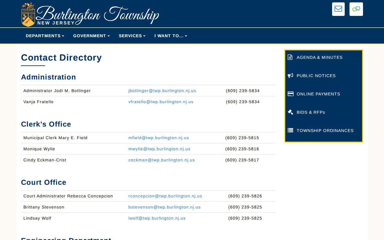
Burlington Township's assessor contact page provides the local route for a parcel-specific question. James J. Renwick is listed at 609-239-5828 and jrenwick@twp.burlington.nj.us. Ask for the identified block and lot, the address, and the record question rather than requesting a broad name list.
The assessor contact page is the source for the local department route used here.
The contact route is useful when the annual layer, tax map, and address wording do not line up. It does not remove the need to compare a parcel result with its source date.
PRESS Routes for Burlington Township Streets
Burlington County Clerk's PRESS is the recorded-document leg of the Burlington Township address workflow. It offers Instrument Number, Document Type, Block/Lot, and Name modes. Block/Lot takes municipality, block, lot, qualifier, or a date range. Name mode takes last or company name and first name, with document type and dates available for narrowing. Instrument mode requires instrument, book, and page. The county example also documents the percent sign as a wildcard in a name search. A name hit still needs parcel and date checks before it is tied to a street.
| PRESS period or channel | Address-relevant access | What to record | Access note |
|---|---|---|---|
| March 1, 2012 onward | Block/lot and owner-name searching. | Municipality, block, lot, qualifier, instrument, date, document type, party roles. | Images online are unofficial and may be watermarked. |
| 1965 to February 2012 | Owner-name searching. | Name variants, date range, document type, and cited instrument references. | Do not treat missing block/lot results as a negative title finding. |
| Before 1965 | Separate county archive, owner-name route. | Search date, spelling used, archive result, and remaining gap. | Guest login may be needed; modern coverage is not assumed. |
| County copy service | Regular or certified document copies. | Book/page, instrument, document type, page count, and certification need. | Up to four documents per request; the Clerk does not conduct a title search. |
A result can contain party names, document type, recording date, instrument number, book/page, municipality, parcel fields where shown, image status, and a prior or later instrument reference. Read grantor and grantee as transaction roles. A grantor transfers an interest; a grantee receives one. Either party may be a trust, estate, lender, business, or representative rather than the person at the street address.
Note: Save the search date and the exact PRESS mode because index coverage differs by recording period.
Burlington Township Street Records Compared
Several official or archival channels can be keyed to a Burlington Township address, but they answer different questions. The coverage below separates parcel context, recorded documents, municipal files, and historical associations. It intentionally does not turn a tax or deed name into a claim that someone currently lives on the street.
| Address-keyed source | Custodian or channel | Coverage or status | What it can show |
|---|---|---|---|
| Tax maps and parcel geometry | Township tax maps, county REST layer, NJGIN | Current map and annual-data context; county viewer was offline at inspection. | Block, lot, qualifier, PIN, tax sheet, and parcel shape. |
| Annual assessment layer | NJ MOD-IV | Annual assessment context; protected fields may be redacted. | Street address, ZIP, value, descriptions, use, acreage, and available owner field. |
| Recorded documents | Burlington County Clerk PRESS | 2012 onward block/lot and name; 1965 through February 2012 name; earlier archive. | Recorded transaction index and unofficial image access. |
| Permit and certificate files | Township Licenses and Inspections or clerk | Retention detail was not published as a public database. | Address/date-specific applications, permits, certificates, plans, or code records when released. |
| Historic address directories | Library of Congress, State Library, BCLS | 1970 to 1971 street-address volume, 1971 to 1995 criss-cross run with gaps, later telephone holdings. | Dated name-to-address association, not current occupancy. |
The county public-records access page describes remote searching and public computers. When a street question concerns a county-created record that is not searchable, use the county's specific public-record process. For a township-created file, direct the request to the municipal clerk or the department that created it.
Burlington Township Permits by Address
A street address can also lead to municipal material held outside PRESS. Burlington Township Licenses and Inspections posts permit, certificate, inspection, zoning, code, and property-maintenance forms. The administrative officer's record responsibilities include applications, permits, certificates of occupancy, plans, and monthly reports. No public live municipal permit database was located in the reviewed sources, so the documented route is an address- and date-specific department inquiry or OPRA request.
Use the Licenses and Inspections page to identify the department and forms, then give the exact street address, block/lot if known, date range, record type, and desired format. A useful request might seek a named permit or certificate, not a new list of all activity on a road. Under the New Jersey Open Public Records Act, a written request goes to the right custodian and ordinarily receives a response within seven business days, subject to the law's rules, exemptions, and review needs.
Department-held records can be redacted, unavailable, or routed to another office. Save the request, date, custodian, and response. That record of the gap is more reliable than drawing conclusions from a missing online result.
Historic Burlington Township Street Listings
Historic sources make the older Burlington Township address trail possible, but their roles need careful labels. The Library of Congress identifies a Burlington, New Jersey, street-address directory for 1970 to 1971. Its county criss-cross holdings run from 1971 through 1995, with missing 1975, 1984, 1993, and 1996 volumes. A criss-cross directory is arranged by street and house number, so it can provide a dated association with a location. It is not a census, and it does not prove that an entry remained current after publication.
State Library telephone-directory holdings add Burlington runs from 1978 through 1989 and Burlington County Area runs from 1990 through 2005, with noted missing material. For local supporting sources, the Burlington County Library System local-history service lists newspaper notices and indexes, in-library databases, and other historical resources. Preserve the directory volume, publication year, spelling, street form, and whether the entry is a subscriber or an address association.
When an address trail becomes historical rather than current, the Burlington Township city directory material has the collection-level detail. Compare any historical entry with a dated deed, map, newspaper notice, or family file before treating it as a strong address lead.
Burlington Township Streets Before 1965
PRESS does not close the record trail before 1965. Burlington County identifies a separate pre-1965 archive route that is owner-name searchable, while maps before 1995 are not on PRESS. That means an early Burlington Township street search may need the older archive, deed books or microfilm, tax ratables, directories, newspapers, and local historical collections. A blank in modern PRESS should be described as a coverage boundary, not proof that a prior association never existed.
The county archive route is the documented historical deed path for the street search.
Use the archive result with the exact spelling searched and then compare the legal description or parcel references across instruments. A name match alone can join the wrong tract.
Burlington Township's former and current geography adds another caution. Older records can use place names that do not map neatly to the modern township. The 1849 county map is a dated landowner and rural-house snapshot, not a list of current residents. Keep an 1849 map label, a later deed role, and a directory entry as separate kinds of evidence.
Burlington Township Street Notice Trail
For a current public-project lead, Burlington Township now posts complete legal notices locally beginning March 1, 2026 under P.L. 2025, c.72. The notice categories include council, planning, zoning, tax-assessor, tax-collector, finance, ordinance, contract, and public-works matters. Recent township notices have included Fountain Avenue utility work and Old York Road work. A notice can identify an address, parcel, board, project, or date that points to a further municipal record.
Use the township public-notices page as a procedural lead, then request the underlying record from its custodian if needed. Notices describe public actions. They should not be mined into a list of private households. The local posting change is useful because it leaves a more visible trail for current municipal activity while older notices can still require clerk, archive, or newspaper research.
Burlington Township Street Search Limits
A Burlington Township address search cannot show a complete household roster. Parcel geometry is not a survey, a tax owner is not necessarily a resident, a deed party is not necessarily an occupant, and a directory entry may be a subscriber or a stale association. Utility customer records are not a public fallback. The official voter search was not fully inspectable and the reviewed sources did not establish a public street-by-street voter tool. Protected data can also be sealed, expunged, redacted, or withheld.
Daniel's Law is especially relevant locally because Burlington County changed its property-search visibility to protect covered people. An absent owner name or address can be a protection, not a data error. The appropriate response is to respect the redaction, retain the public parcel context that is available, and ask the proper custodian about a record-specific process.
Note: A documented source limitation is more accurate than an inferred name, household relationship, or present address.